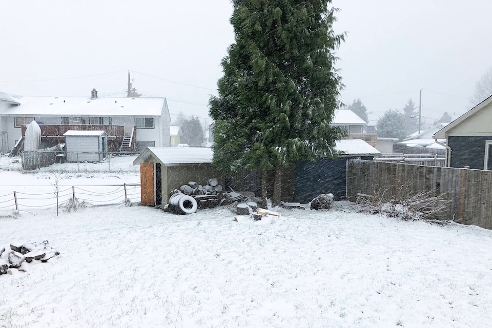
Hazardous winter storm conditions, including 20 to 30 centimetres of snow are expected in Kitimat today, according to Environment Canada.
A winter storm warning has been put in effect for the North Coast, to inland including Kitimat and Terrace.
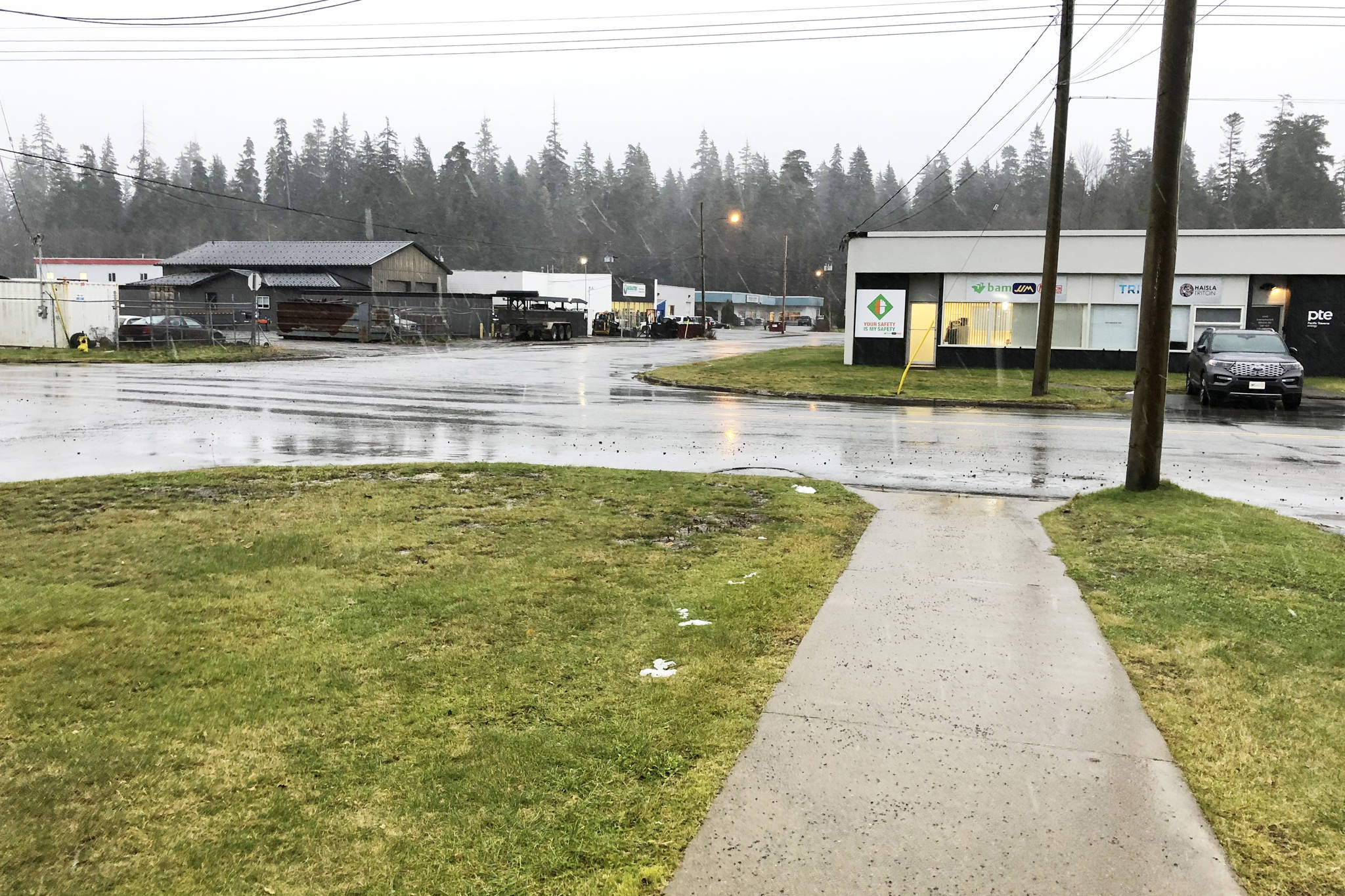
Snow was already falling throughout the night and has continued into Tuesday morning. More snow is expected throughout the day and into the late evening, driven by a deep low pressure system off of Vancouver Island moving north along the coast.
In addition to snow, winds of 50 to 70 kilometres per hour are expected. Blowing snow may limit visibility and Environment Canada reminds drivers to be prepared for “quickly changing and deteriorating travel conditions.”
The temperature is projected to remain steady around zero degrees Celsius during the day.
clare.rayment@northernsentinel.com
Like us on Facebook and follow us on Twitter