A blizzard warning is in effect for the North Coast and inland sections, including Terrace and Kitimat.
According to Environment Canada, blizzard conditions are expected to begin at around midnight tonight as strong winds pick up from an approaching Pacific storm.
The storm will also increase the draw of cold air out from the interior, which will result in very strong outflow winds through valleys and inlets.
Wind from the northeast is expected to gust upwards to 80 km/hr this evening, with the wind chill expected to reach up to minus 30 tonight. Risk of frostbite is possible.
This week’s arctic outflow warning continues to still be in effect.
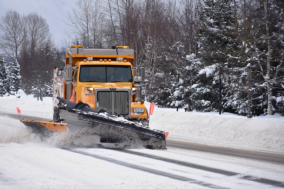
READ MORE: Terrace and Kitimat resurface from snowstorm weekend
The Weather Network predicts 21.9 cm of snow for Saturday in Terrace and 44.3 cm in Kitimat. Blizzard conditions will continue until late Saturday.
Into Sunday, short periods of heavy snow to fall are still expected to fall with another 23.6 cm for Terrace and 54.7 cm for Kitimat.
READ MORE: 10 B.C. cities break temperature records in winter storm
Environment Canada advises the public to postpone non-essential travel until conditions improve as travel is expected to be extremely hazardous due to reduced visibility.
Due to extreme weather conditions, Shames Mountain was closed today. Ski hill enthusiasts can monitor My Mountain Co-op’s Facebook page and on their site to check if the closure will continue over the weekend.
natalia@terracestandard.com
Like us on Facebook and follow us on Twitter